
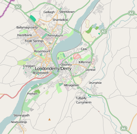
Archivo: OpenStreetMap of DerryLondonderry UK Apr2012
No disponible en mayor resolución.
OpenStreetMap_of_DerryLondonderry_UK_Apr2012.png (454 × 445 píxeles; tamaño de archivo: 156 KB; tipo MIME: image/png)
Description: Openstreetmap rendered map of Derry/Londonderry
Title: OpenStreetMap of DerryLondonderry UK Apr2012
Credit: http://openstreetmap.org
Author: OpenStreetMap contributors
Permission: http://www.openstreetmap.org/copyright
Usage Terms: Creative Commons Attribution-Share Alike 2.0
License: CC BY-SA 2.0
License Link: http://creativecommons.org/licenses/by-sa/2.0
Attribution Required?: Yes
Usos del archivo
La siguiente página enlaza a este archivo:

Todo el contenido de los artículos de la Enciclopedia Kiddle (incluidas las imágenes) se puede utilizar libremente para fines personales y educativos bajo la licencia Atribución-CompartirIgual a menos que se indique lo contrario.