
Archivo: Northumberland Strait map

Tamaño de esta previsualización: 800 × 541 píxeles. Otras resoluciones: 320 × 216 píxeles | 2500 × 1690 píxeles.
Archivo original (2500 × 1690 píxeles; tamaño de archivo: 240 KB; tipo MIME: image/png)
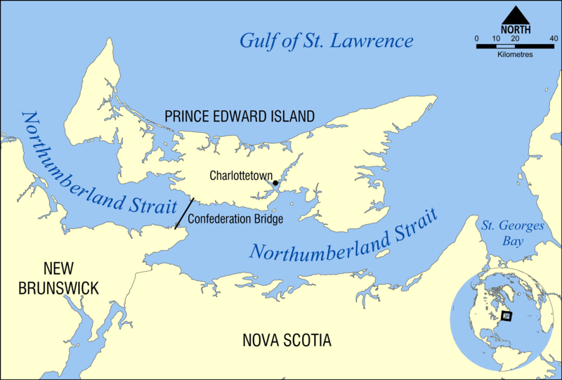
Description: This map shows the location of the Northumberland Strait in the Gulf of St. Lawrence, separating the Canadian provinces of Prince Edward Island and New Brunswick.
Title: Northumberland Strait map
Credit: Own work
Author: NormanEinstein
Usage Terms: Creative Commons Attribution-Share Alike 3.0
License: CC BY-SA 3.0
License Link: https://creativecommons.org/licenses/by-sa/3.0
Attribution Required?: Yes
Usos del archivo
La siguiente página enlaza a este archivo:

Todo el contenido de los artículos de la Enciclopedia Kiddle (incluidas las imágenes) se puede utilizar libremente para fines personales y educativos bajo la licencia Atribución-CompartirIgual a menos que se indique lo contrario.