
Archivo: Northern China - Envisat
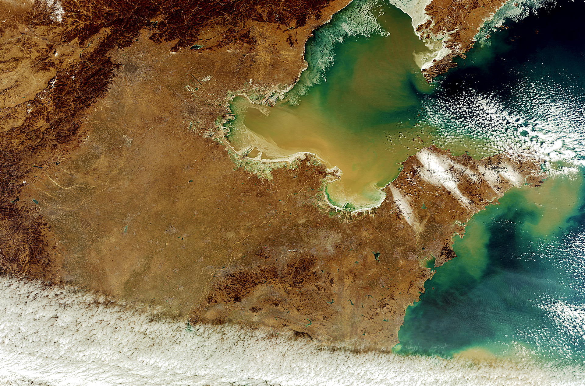
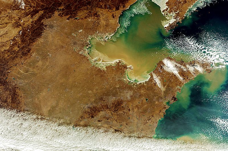
Descripción: Northern China is pictured in this image acquired by Envisat’s MERIS instrument on 8 February 2012. The North China Plain dominates the image, bordered on the north and west by mountains, with the Yellow Sea to the east. Flowing northeast across the Plain we can see the Yellow River – China’s second longest – before it empties into the Bohai Sea, the innermost gulf of the Yellow Sea. In the upper left portion of the image near the mountains, China’s capital Beijing looks like a shaded circle.
Título: Northern China
Créditos: http://www.esa.int/spaceinimages/Images/2012/12/Northern_China
Autor(a): Envisat satellite
Términos de Uso: Creative Commons Attribution-Share Alike 3.0 igo
Licencia: CC BY-SA 3.0 igo
Enlace de Licencia: https://creativecommons.org/licenses/by-sa/3.0/igo/deed.en
¿Se exige la atribución?: Sí
Usos del archivo
La siguiente página enlaza a este archivo:
