
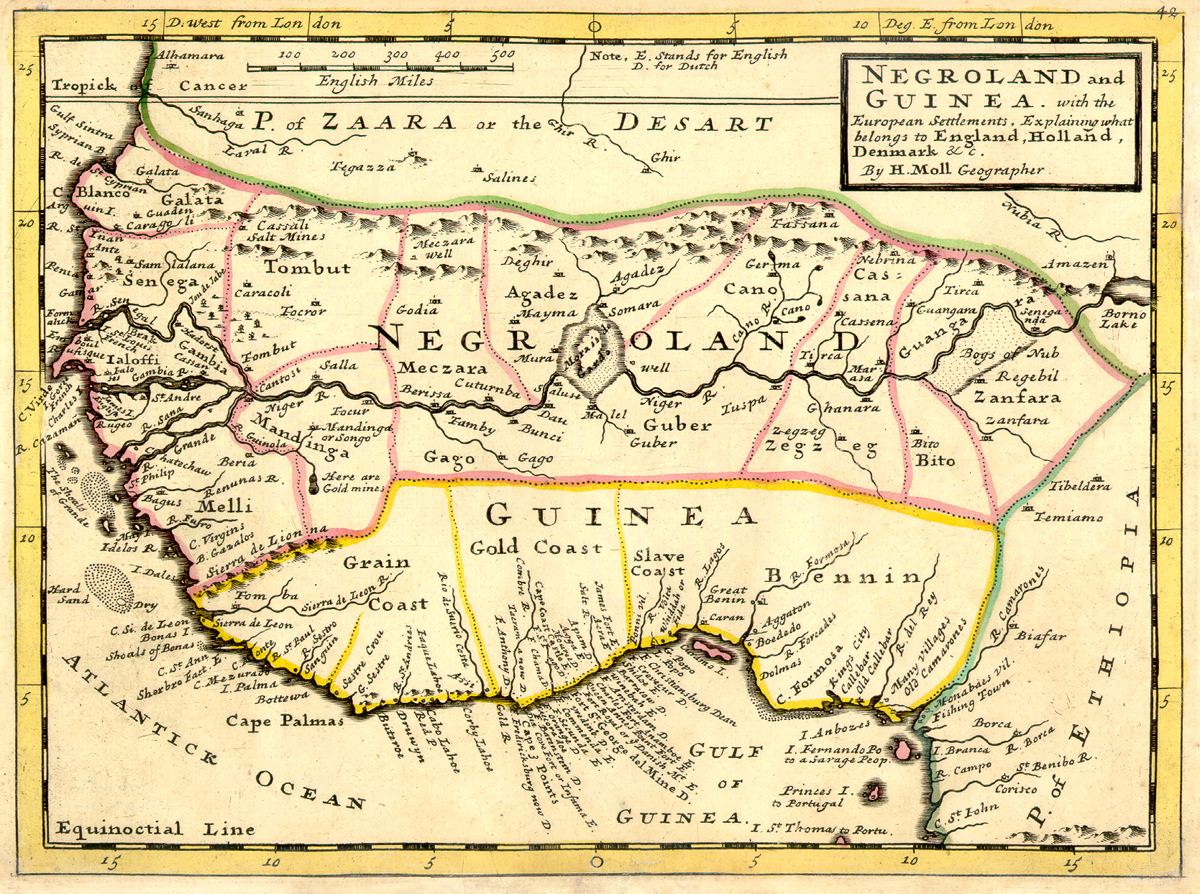
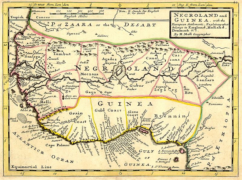
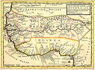
Archivo: Negroland and Guinea with the European Settlements, 1736
Tamaño de esta previsualización: 800 × 596 píxeles. Otras resoluciones: 320 × 238 píxeles | 1200 × 894 píxeles.
Archivo original (1200 × 894 píxeles; tamaño de archivo: 1,55 MB; tipo MIME: image/jpeg)
Description: Full title: 'Negroland and Guinea with the European Settlements, Explaining what belongs to England, Holland, Denmark, etc'. By H. Moll Geographer (Printed and sold by T. Bowles next ye Chapter House in St. Pauls Church yard, & I. Bowles at ye Black Horse in Cornhill, 1729, orig. published in 1727). [1]
Title: Negroland and Guinea with the European Settlements, 1736
Credit: University of Florida, George A. Smathers Libraries, historic African maps: 1729 Herman Moll (#ALW1663)
Author: Herman Moll
Usage Terms: Public domain
License: Public domain
Attribution Required?: No
Usos del archivo
La siguiente página enlaza a este archivo:

Todo el contenido de los artículos de la Enciclopedia Kiddle (incluidas las imágenes) se puede utilizar libremente para fines personales y educativos bajo la licencia Atribución-CompartirIgual a menos que se indique lo contrario.