
Archivo: Nebraska 1718
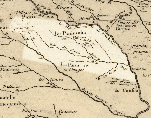
Description: Nebraska 1718, approximate modern state area highlighted, from Carte de la Louisiane et du cours du Mississipi by Guillaume de L'Isle. Borders are very rough, since the Republican and Platte Rivers are shown with unusual routes. Licensing My contributions cleaning and highlighting are also donated to Public Domain. Bill Whittaker (talk) 20:14, 27 July 2009 (UTC) The Library of Congress scan is covered by: The 1718 map is covered by:
Title: Nebraska 1718
Credit: Library of Congress Public Domain Site: http://hdl.loc.gov/loc.gmd/g3700.ct000666
Author: Guillaume Delisle
Permission: US Govt Public Domain, also author +100 years
Usage Terms: Public domain
License: Public domain
Attribution Required?: No
Usos del archivo
La siguiente página enlaza a este archivo:
