
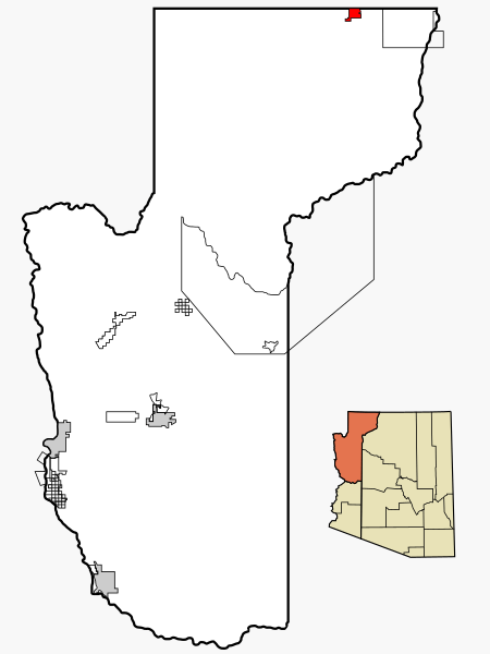
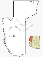
Archivo: Mohave County Incorporated and Unincorporated areas Colorado City highlighted

Description: This map shows the incorporated and unincorporated areas and Indian reservations in Mohave County, northwestern Arizona. Highlighting Colorado City in red, located in the northernmost Arizona Strip region. The town of Colorado City is a notable community of the polygamous Fundamentalist Church of Jesus Christ of Latter Day Saints. Credits I created it in Inkscape using data from the US Census Bureau and the Mohave County website.
Title: Mohave County Incorporated and Unincorporated areas Colorado City highlighted
Credit: My own work, based on public domain information. Based on similar map concepts by Ixnayonthetimmay
Author: Arkyan
Permission: Copyleft-type licensing. See below.
Usage Terms: Creative Commons Attribution-Share Alike 3.0
License: CC-BY-SA-3.0
License Link: http://creativecommons.org/licenses/by-sa/3.0/
Attribution Required?: Yes
Usos del archivo
La siguiente página enlaza a este archivo:
