
Archivo: Mishicot WI aerial photo
No disponible en mayor resolución.
Mishicot_WI_aerial_photo.jpg (500 × 375 píxeles; tamaño de archivo: 46 KB; tipo MIME: image/jpeg)
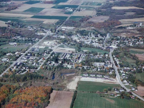
Description: Aerial image of Mishicot, looking from the south toward the north. Wisconsin Highway 163 entered the village from the SW (lower left) and ran into the village.
Title: Mishicot WI aerial photo
Credit: http://www.mishicot.org
Author: JakeApple at English Wikipedia
License: Attribution
Usos del archivo
La siguiente página enlaza a este archivo:

Todo el contenido de los artículos de la Enciclopedia Kiddle (incluidas las imágenes) se puede utilizar libremente para fines personales y educativos bajo la licencia Atribución-CompartirIgual a menos que se indique lo contrario.