
Archivo: Map of the Oberämter of the Electoral Palatinate (1789) - Numbered

Tamaño de esta previsualización PNG del archivo SVG: 800 × 545 píxeles. Otra resolución: 320 × 218 píxeles.
Archivo original (archivo SVG, nominalmente 3770 × 2570 píxeles, tamaño de archivo: 532 KB)
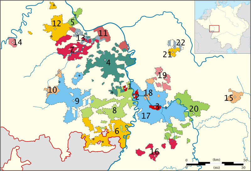
Descripción: Map of the Political subdivisions (Oberämter) of the Electorate of the Palatinate in 1789.
Título: Map of the Oberämter of the Electoral Palatinate (1789) - Numbered
Créditos: Trabajo propio, based on a map from the Heidelberg University website. Orginal from Pfalzatlas.
Autor(a): Sir Iain and Lencer (Inset map of the Empire)
Términos de Uso: Creative Commons Attribution-Share Alike 3.0
Licencia: CC BY-SA 3.0
Enlace de Licencia: https://creativecommons.org/licenses/by-sa/3.0
¿Se exige la atribución?: Sí
Usos del archivo
La siguiente página enlaza a este archivo:
_-_Numbered.svg&oldid=4058289)

Todo el contenido de los artículos de la Enciclopedia Kiddle (incluidas las imágenes) se puede utilizar libremente para fines personales y educativos bajo la licencia Atribución-CompartirIgual a menos que se indique lo contrario.
_-_Numbered.svg)