
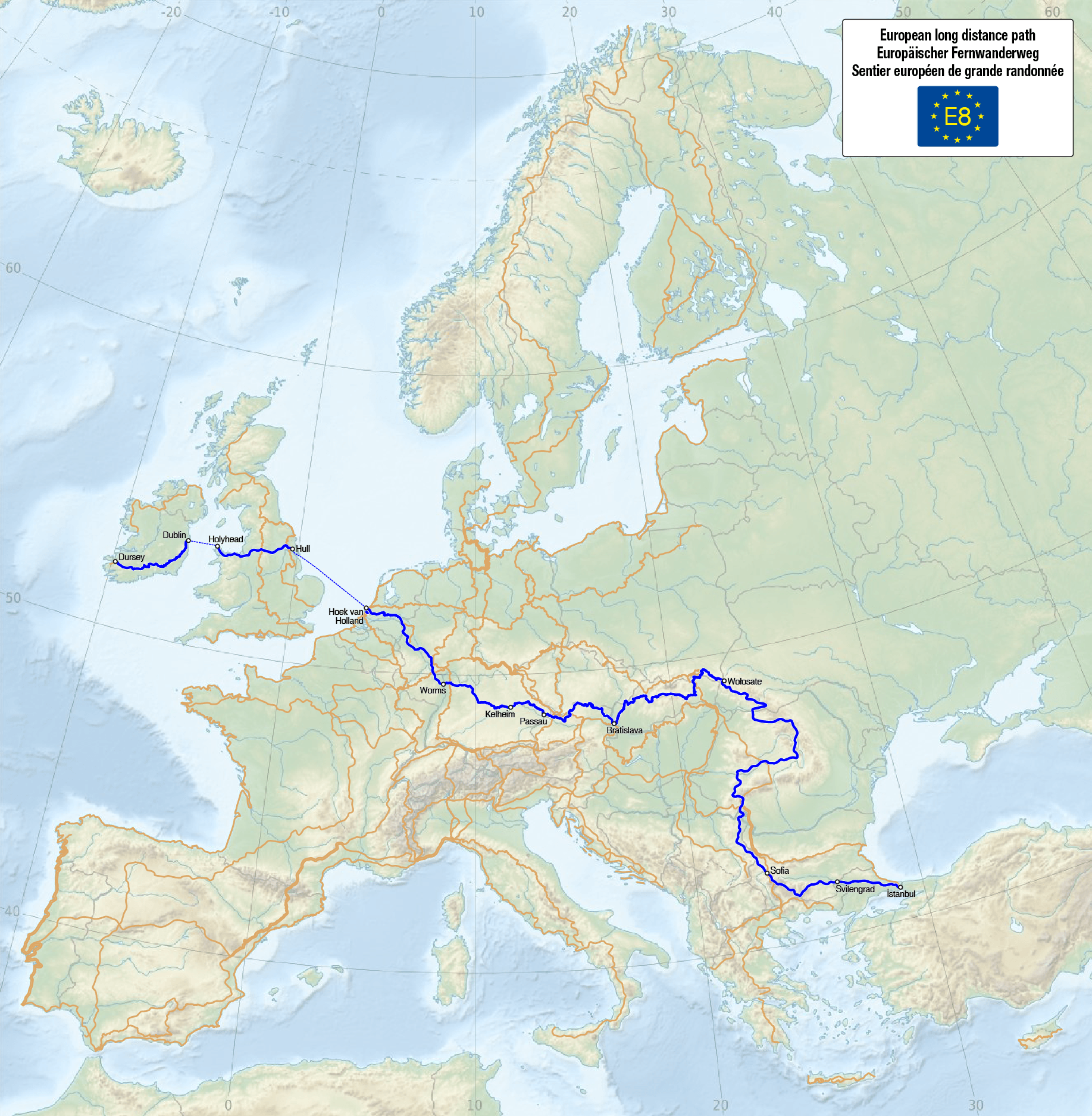
Archivo: Map of the European Long Distance Path E8
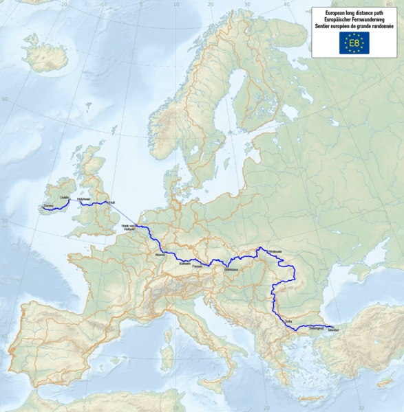
Tamaño de esta previsualización: 587 × 600 píxeles. Otras resoluciones: 235 × 240 píxeles | 1835 × 1875 píxeles.
Archivo original (1835 × 1875 píxeles; tamaño de archivo: 2,6 MB; tipo MIME: image/png)
Description: Map of the European long distance path E8
Title: Map of the European Long Distance Path E8
Credit: Own work, using this file by Pyfisch which uses this base map by Alexrk2 The information of the contents is from the following sources: ERA Foundation Waymarked Trails: E1, E2, E3, E4, E5, E6, E7, E8, E9, E10, E11 Traildino
Author: Maximilian Dörrbecker (Chumwa)
Permission: I, the copyright holder of this work, hereby publish it under the following license:
Usage Terms: Creative Commons Attribution-Share Alike 3.0
License: CC BY-SA 3.0
License Link: https://creativecommons.org/licenses/by-sa/3.0
Attribution Required?: Yes
Usos del archivo
La siguiente página enlaza a este archivo:

Todo el contenido de los artículos de la Enciclopedia Kiddle (incluidas las imágenes) se puede utilizar libremente para fines personales y educativos bajo la licencia Atribución-CompartirIgual a menos que se indique lo contrario.