
Archivo: Map of West Hills neighborhood, Los Angeles, California
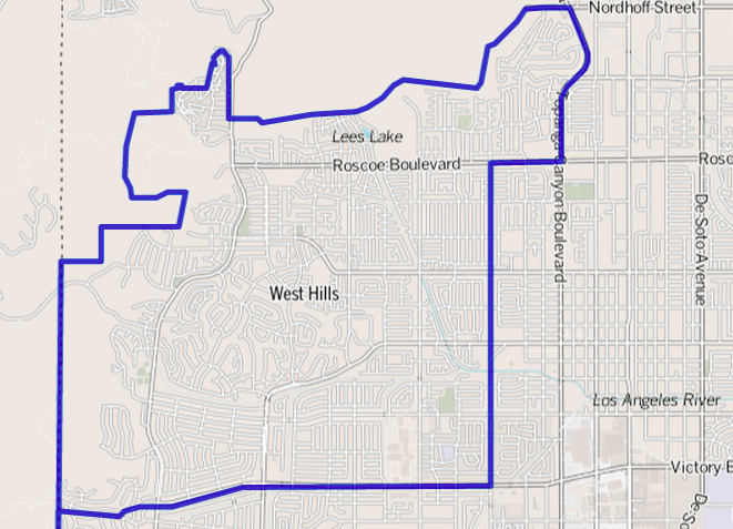
Description: Map of West Hills, in the western San Fernado Valley, within Los Angeles. As drawn by the Los Angeles Times. Other information Boundary map as drawn by the Los Angeles Times on a CC-by-SA background. Note at bottom right of map on the L.A. Times website noted above says "CC-by-SA" (which gives permission to use the map). There is a link there to http://creativecommons.org/licenses/by-sa/2.0, which explains the meaning thereof. The base map is credited to http://www.openstreetmap.org/ The Times spells all this out at http://projects.latimes.com/mapping-la/about/#the-data
Title: Map of West Hills neighborhood, Los Angeles, California
Credit: http://projects.latimes.com/mapping-la/neighborhoods/neighborhood/west-hills/
Author: Los Angeles Times
Permission: http://projects.latimes.com/mapping-la/neighborhoods/neighborhood/west-hills/
Usage Terms: Creative Commons Attribution 2.0
License: CC BY 2.0
License Link: http://creativecommons.org/licenses/by/2.0
Attribution Required?: Yes
Usos del archivo
La siguiente página enlaza a este archivo:
