
Archivo: Map of Tibet in the 13th century and Central Asian trade routes (cropped)
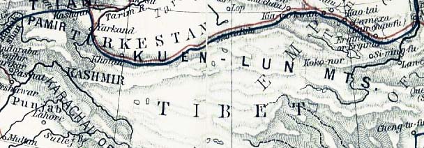
Descripción: Mediaeval trade routes in central Asia. Modified map based on Sheherd Mediaeval Commerce (1923/first edition 1911)
Título: Map of Tibet in the 13th century and Central Asian trade routes (cropped)
Créditos: From the "Historical Atlas" by William R. Shepherd, New York, Henry Holt and Company, 1923 (2nd edition) Retrieved from University of Texas Libraries, Perry-Castañeda Library Map Collection: Historical Atlas by William R. Shepherd, 1923. This image is a copy or a derivative work of asia_mediaeval_commerce.jpg, from the map collection of the Perry–Castañeda Library (PCL) of the University of Texas at Austin. This tag does not indicate the copyright status of the attached work. A normal copyright tag is still required. See Commons:Licensing for more information.
Autor(a): William Robert Shepherd
Términos de Uso: Dominio Público
Licencia: Dominio Público
¿Se exige la atribución?: No
Usos del archivo
La siguiente página enlaza a este archivo:
.jpg&oldid=2956481)

.jpg)