
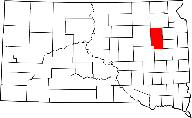
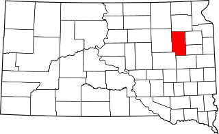
Archivo: Map of South Dakota highlighting Clark County

Tamaño de esta previsualización PNG del archivo SVG: 800 × 492 píxeles. Otra resolución: 320 × 197 píxeles.
Archivo original (archivo SVG, nominalmente 6226 × 3832 píxeles, tamaño de archivo: 47 KB)
Description: This is a locator map showing Clark County in South Dakota. For more information, see Commons:United States county locator maps.
Title: Map of South Dakota highlighting Clark County
Credit: The maps use data from nationalatlas.gov, specifically countyp020.tar.gz on the Raw Data Download page. The maps also use state outline data from statesp020.tar.gz. The Florida maps use hydrogm020.tar.gz to display Lake Okeechobee.
Author: David Benbennick
Usage Terms: Public domain
License: Public domain
Attribution Required?: No
Usos del archivo
La siguiente página enlaza a este archivo:

Todo el contenido de los artículos de la Enciclopedia Kiddle (incluidas las imágenes) se puede utilizar libremente para fines personales y educativos bajo la licencia Atribución-CompartirIgual a menos que se indique lo contrario.