
Archivo: Map of Hokendauqua, Lehigh County, Pennsylvania Highlighted
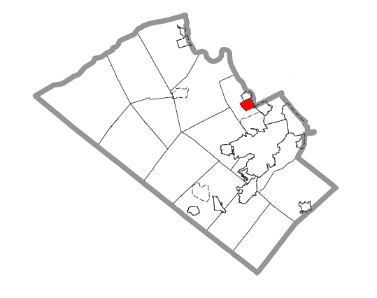
Descripción: A map of Lehigh County showing Hokendauqua, Pennsylvania highlighted on the map. |Source=Source image taken from the United States Census Bureau’s website pa_cosub.pdf. Image was modified by ”Country” Bushrod Washington.
Título: Map of Hokendauqua, Lehigh County, Pennsylvania Highlighted
Créditos: http://www2.census.gov/geo/maps/general_ref/cousub_outline/cen2k_pgsz/pa_cosub.pdf
Autor(a): (c) 2007 "Country" Bushrod Washington (from U.S. Census Bureau source)
Permiso: A United States Census Bureau/government work is in the public domain, however, my modifications are licensed as follows: You may not use this image on your own web site or anywhere else unless you release this image and any derivative works by following the terms of one of the following licenses. Any other use will be considered a breach of copyright. If you have not read the terms of these licenses or do not understand them, then do not use this image.
Términos de Uso: Dominio Público
Licencia: Dominio Público
¿Se exige la atribución?: No
Usos del archivo
La siguiente página enlaza a este archivo:
