
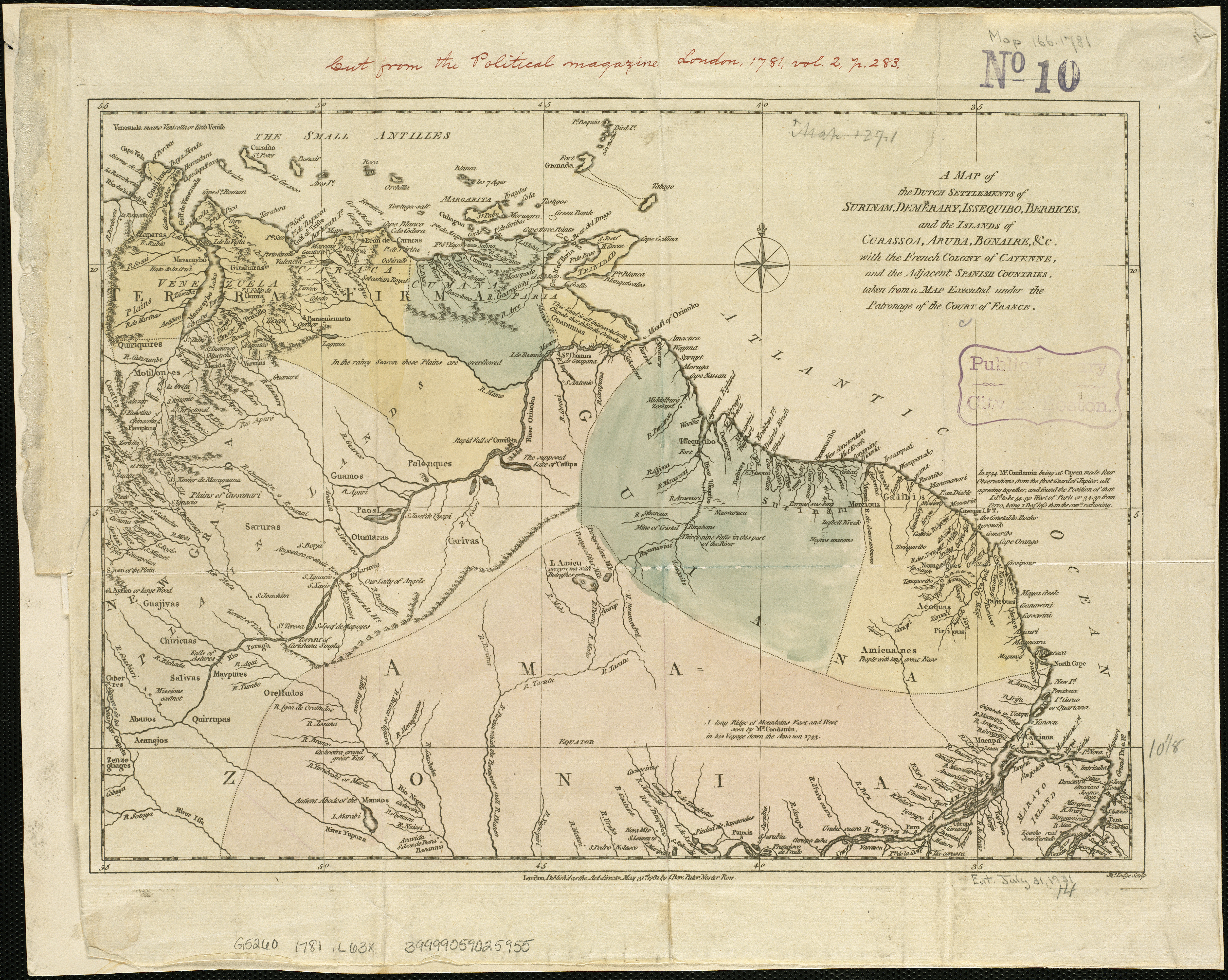
Archivo: Map of Dutch Guiana and of Curaçao, Bonaire, and Aruba, 1781
Descripción: Zoom into this map at maps.bpl.org. Author: Lodge, John Publisher: Bew, John Date: 1781 Location: Netherlands Antilles, Suriname Dimension 26x36cm Scale: Scale not given Call Number: G5260 1781 .L63x
Título: Map of Dutch Guiana and of Curaçao, Bonaire, and Aruba, 1781
Créditos: A map of the Dutch settlements of Surinam, Demerary, Issequibo, Berbices, and the islands of Curassoa, Aruba, Bonaire, &c., with the French colony of Cayenne, and the adjacent Spanish countries, taken from a map executed under the patronage of the ... Uploaded by Fentener van Vlissingen
Autor(a): http://maps.bpl.org
Términos de Uso: Creative Commons Attribution 2.0
Licencia: CC BY 2.0
Enlace de Licencia: https://creativecommons.org/licenses/by/2.0
¿Se exige la atribución?: Sí
Usos del archivo
La siguiente página enlaza a este archivo:
