
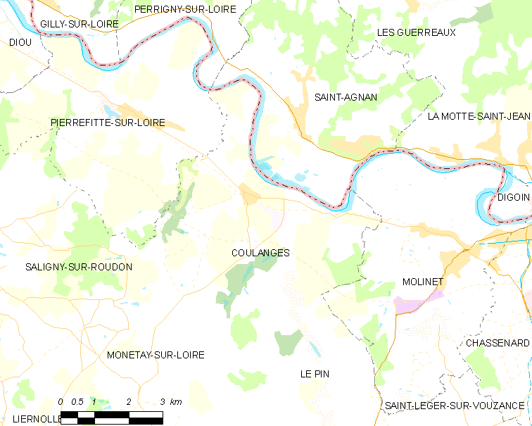
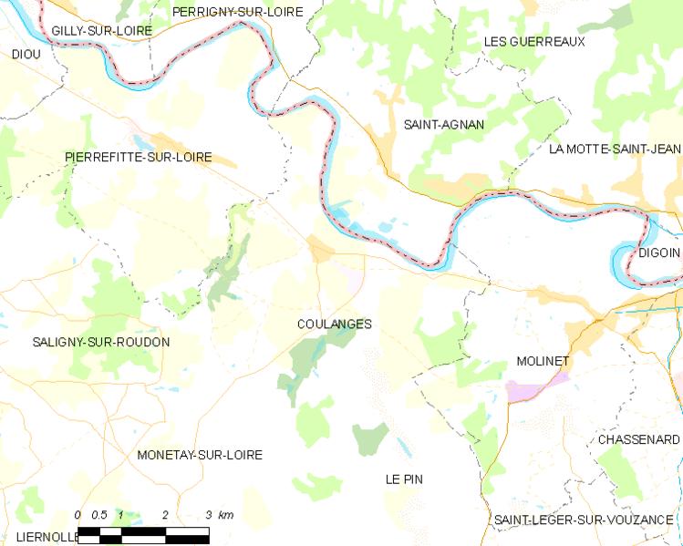
Archivo: Map commune FR insee code 03086
Descripción: Map commune FR insee code 03086.png
Título: Map commune FR insee code 03086
Créditos: derived work, see author details
Autor(a): Map data (c) OpenStreetMap contributors, CC-BY-SA • Shape files infrastructure: railway, highways, water: all originally by OpenStreetMap contributors. Status december 2011 • Label and Insee code commune: from Geofla (note that commune boundaries are also available under free license at geofla, but not near acceptable quality due to extreme simplification!) • Data for exact commune* and department boundaries: derived via osm download geofabrik.de and osm2pgsql, OpenStreetMap contributors. • Data for landuse: OSM / Corine land cover, 2006 ([1]) • Mentioned sources combined and exported for each commune using a script by Michiel1972 *note: shown commune boundaries are from OSM dump May 2012; at that time about 90% complete
Términos de Uso: Creative Commons Attribution 2.0
Licencia: CC BY 2.0
Enlace de Licencia: https://creativecommons.org/licenses/by/2.0
¿Se exige la atribución?: Sí
Usos del archivo
La siguiente página enlaza a este archivo:
