
Archivo: Joppen1907India1700a
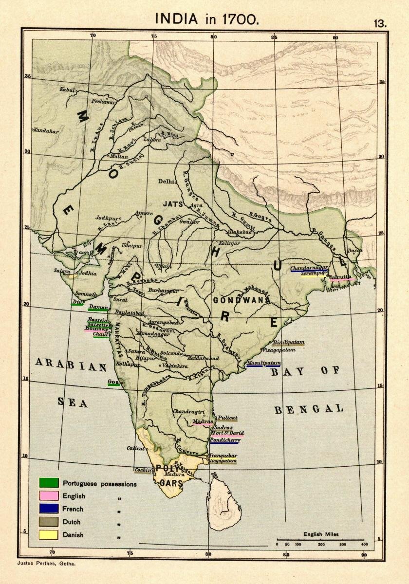
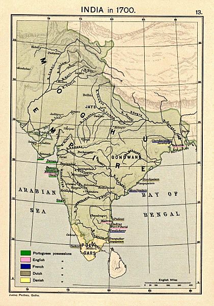
Description: Map of India 1700 showing the Mughal Empire and European trading posts/factory towns from: Joppen, Charles [SJ.] (1907), A Historical Atlas of India for the use of High-Schools, Colleges, and Private Students, London, New York, Bombay, and Calcutta: Longman Green and Co. Pp. 16, 26 maps . Scanned from personal copy, reduced, and highlighted by Fowler&fowler«Talk» 23:38, 24 February 2009 (UTC)
Title: Joppen1907India1700a
Credit: Joppen, Charles [SJ.] (1907), A Historical Atlas of India for the use of High-Schools, Colleges, and Private Students, London, New York, Bombay, and Calcutta: Longman Green and Co. Pp. 16, 26 maps
Author: Justus Perthes, Gotha./Charles Joppen
Usage Terms: Public domain in the United States
License: PD-US
License Link: //en.wikipedia.org/wiki/File:Joppen1907India1700a.jpg
Usos del archivo
La siguiente página enlaza a este archivo:
