
Archivo: Java location map plain

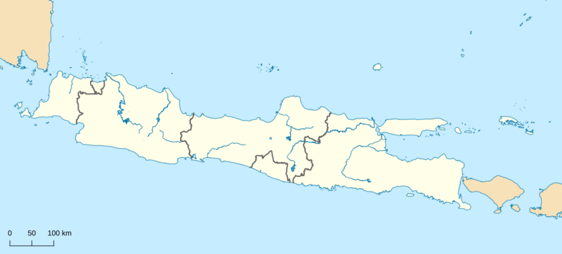
Descripción: Plain map of Java for the location map scheme with administrative borders and surrounding islands belonged to the provinces in the island. I did not add maritime borders for the provinces because I did not find any official sources in regards to it.
Título: Java location map plain
Créditos: Own work based on sources; Reservoirs, lakes, administrative borders (province), rivers: © OpenStreetMap contributors (ODbL) Coastlines: GSHHG Version 2.3.7 June 15, 2017, Lesser GNU Public License "v3 or any earlier version" Sources were modified.
Autor(a): RXerself
Términos de Uso: Creative Commons Attribution-Share Alike 4.0
Licencia: CC BY-SA 4.0
Enlace de Licencia: https://creativecommons.org/licenses/by-sa/4.0
¿Se exige la atribución?: Sí
Usos del archivo
Las siguientes páginas enlazan a este archivo:
