
Archivo: Iwate-ken géolocalisation

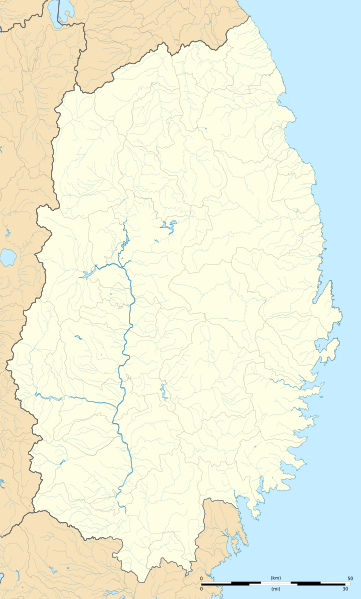
Description: Blank map of the Iwate Prefecture, for geolocalisation purpose.
Title: Iwate-ken géolocalisation
Credit: Création personnelle ; Coast, lakes, river, boundaries / Côtes, lacs, cours d'eau, frontières : données de la carte © les contributeurs d'OpenStreetMap, CC-BY-SA Openstreetmap via thinkgeo.com ; Other symbols / autres symboles provenant de File:Maps template-fr.svg Software / logiciels utilisés (méthode décrite dans ce didacticiel) : Quantum GIS ; Inkscape ;
Author: © Bourrichon (talk) - fr:Bourrichon
Permission: Attribution and Share-Alike required Any use of this image can be made as long as you credit me (Wikimedia Commons user: Bourrichon) as the author and distribute the copies and derivative works under the same license(s) that the one(s) stated below. A message with a reply address would also be greatly appreciated.
Usage Terms: Creative Commons Attribution-Share Alike 2.0 fr
License: CC BY-SA 2.0 fr
License Link: https://creativecommons.org/licenses/by-sa/2.0/fr/deed.en
Attribution Required?: Yes
Usos del archivo
