
Archivo: IsraelCVFRtopography
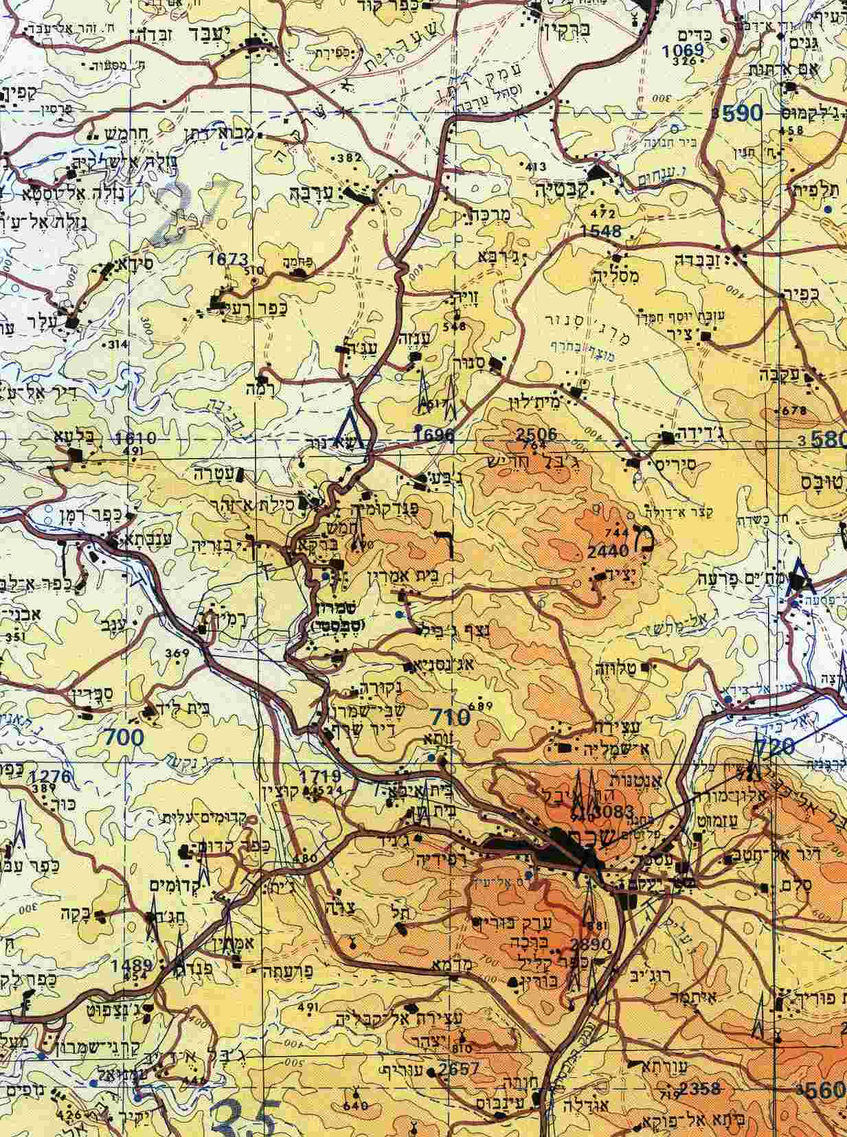
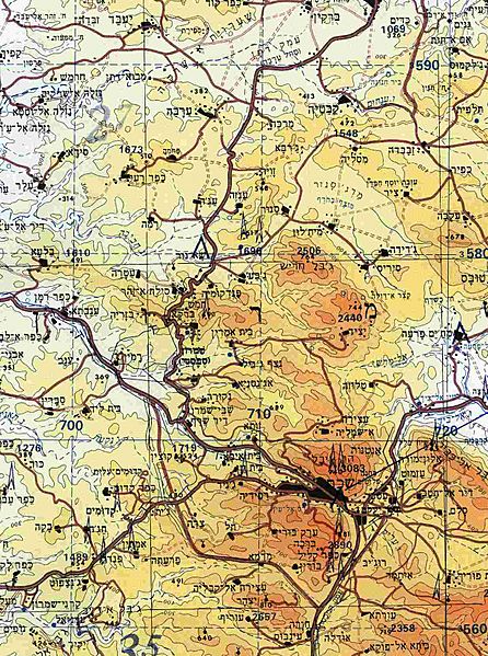
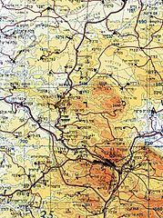
Description: Section of topographical map of Nablus area (West Bank) with contour lines at 100-meter intervals.
Title: IsraelCVFRtopography
Credit: Aeronautical Information Publication - Domestic (AIP) of the Israel Civil Aviation Administration – presently Civil Aviation Authority (CAA)
Author: Etan Tal
Permission: This file is in the public domain, because Published as part of Israeli State Regulation In case this is not legally possible: The right to use this work is granted to anyone for any purpose, without any conditions, unless such conditions are required by law. Please verify that the reason given above complies with Commons' licensing policy.
Usage Terms: Public domain
License: Public domain
Attribution Required?: No
Usos del archivo
La siguiente página enlaza a este archivo:
