
Archivo: Indian Mysore Kingdom 1784 map-es

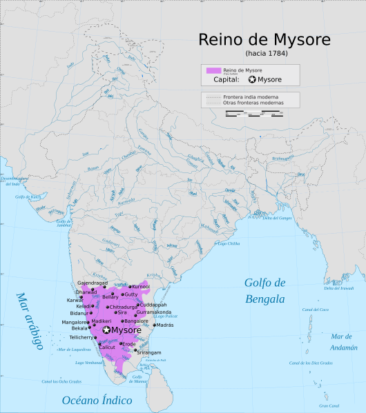
Descripción: Map showing the extent of the Mysore Kingdom under Tipu Sultan including the Keladi Kingdom.
Título: Indian Mysore Kingdom 1784 map-es
Créditos: Esta imagen ha sido extraída del archivo
Autor(a): PlaneMad, rowanwindwhistler
Permiso: This Image was created by User:PlaneMad. If you are using the image under the creative commons share alike license please credit the photo CC-by-sa PlaneMad/Wikimedia and include a link to this page. No explicit permission is needed from me, but id appreciate an email if my work has been of help to you. If you dont want to release your work under a creative commons license, please mail me at arun.planemad@gmail.com or catch me at my Website to negotiate a custom license as per your needs.
Términos de Uso: Creative Commons Attribution-Share Alike 4.0
Licencia: CC BY-SA 4.0
Enlace de Licencia: https://creativecommons.org/licenses/by-sa/4.0
¿Se exige la atribución?: Sí
Usos del archivo
La siguiente página enlaza a este archivo:
