
Archivo: Illinois 1718
Tamaño de esta previsualización: 479 × 599 píxeles. Otras resoluciones: 192 × 240 píxeles | 589 × 737 píxeles.
Archivo original (589 × 737 píxeles; tamaño de archivo: 232 KB; tipo MIME: image/jpeg)
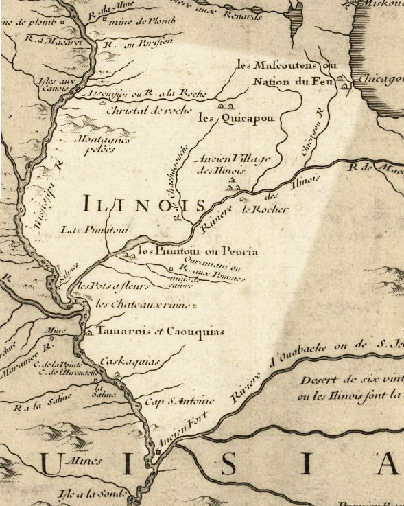
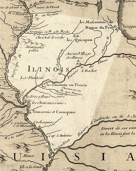
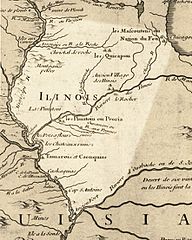
Description: Illinois in 1718, approximate modern state area highlighted, from Carte de la Louisiane et du cours du Mississipi by Guillaume de L'Isle. This map shows Chicago as being the strategic point of connection between the Great Lakes and the Mississippi River Basin.
Title: Illinois 1718
Credit: Library of Congress Public Domain Site: http://hdl.loc.gov/loc.gmd/g3700.ct000666 Modified by en:User:Billwhittaker to highlight Illinois
Author: Guillaume Delisle
Permission: US Govt Public Domain, also author +100 years
Usage Terms: Public domain
License: Public domain
Attribution Required?: No
Usos del archivo
Las siguientes páginas enlazan a este archivo:

Todo el contenido de los artículos de la Enciclopedia Kiddle (incluidas las imágenes) se puede utilizar libremente para fines personales y educativos bajo la licencia Atribución-CompartirIgual a menos que se indique lo contrario.