
Archivo: IleAuxNoix1760

Tamaño de esta previsualización: 800 × 492 píxeles. Otras resoluciones: 320 × 197 píxeles | 2190 × 1347 píxeles.
Archivo original (2190 × 1347 píxeles; tamaño de archivo: 534 KB; tipo MIME: image/jpeg)
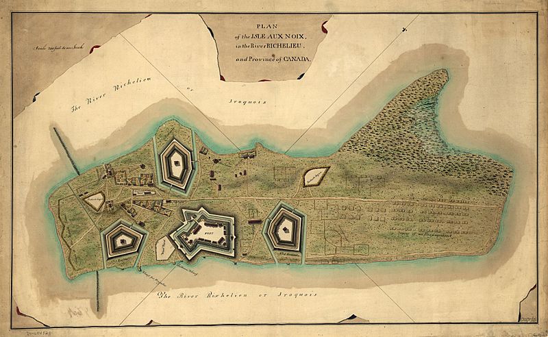
Description: This is a map of fortifications on the Ile aux Noix, circa 1760. Caption reads: Plan of the Isle aux Noix, in the River Richelieu, and Province of Canada. [Signed:] T. Walker, Capt., 60th regt. delt.
Title: IleAuxNoix1760
Credit: This map is available from the United States Library of Congress's Geography & Map Division under the digital ID g3452i.ar062000. This tag does not indicate the copyright status of the attached work. A normal copyright tag is still required. See Commons:Licensing for more information.
Author: Thomas Walker
Usage Terms: Public domain
License: Public domain
Attribution Required?: No
Usos del archivo
La siguiente página enlaza a este archivo:

Todo el contenido de los artículos de la Enciclopedia Kiddle (incluidas las imágenes) se puede utilizar libremente para fines personales y educativos bajo la licencia Atribución-CompartirIgual a menos que se indique lo contrario.