
Archivo: Houston Downtown Map
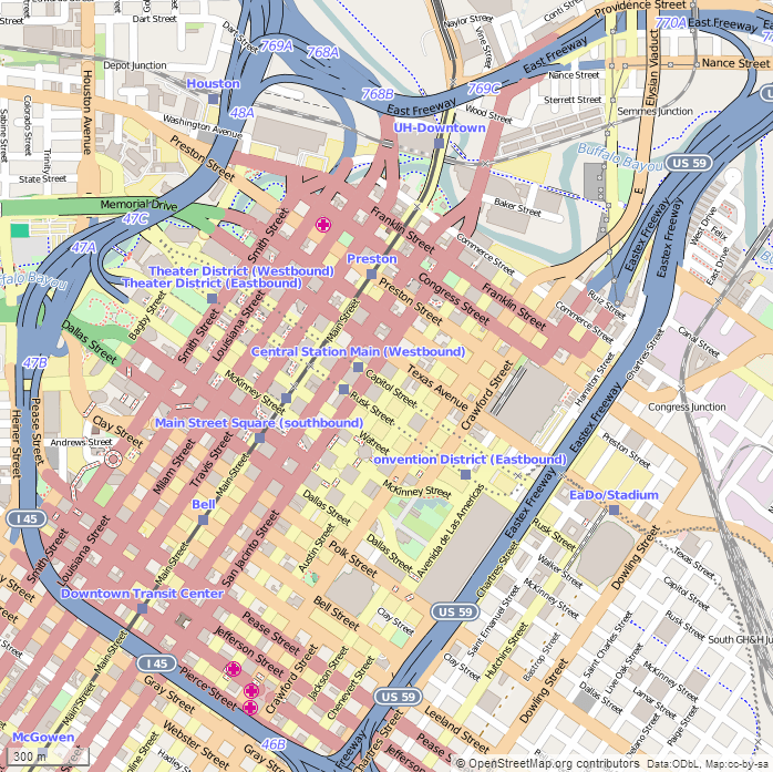
Description: This map of Downtown Houston was created from OpenStreetMap project data, collected by the community. The image should remain clear of any additional edits. To annotate the map for an article, use the Infobox or Location Map template and reference the map using map module Houston Downtown. This map may be incomplete, and may contain errors. Submit corrections to the below source link. Do not rely solely on the map for navigation. Steven Driskell Image for Map Module : Houston Downtown Latitude north = 29.76989 Latitude south = 29.74553 Longitude west = -95.37575 Longitude east = -95.34575 Map symbology
Title: Houston Downtown Map
Credit: http://www.openstreetmap.org
Author: OpenStreetMap contributors
Usage Terms: Creative Commons Attribution-Share Alike 2.5
License: CC BY-SA 2.5
License Link: https://creativecommons.org/licenses/by-sa/2.5
Attribution Required?: Yes
Usos del archivo
La siguiente página enlaza a este archivo:
