
Archivo: Gulf Islands map 2
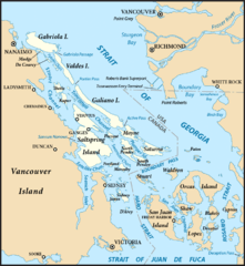
Tamaño de esta previsualización: 551 × 599 píxeles. Otras resoluciones: 221 × 240 píxeles | 801 × 871 píxeles.
Archivo original (801 × 871 píxeles; tamaño de archivo: 594 KB; tipo MIME: image/png)
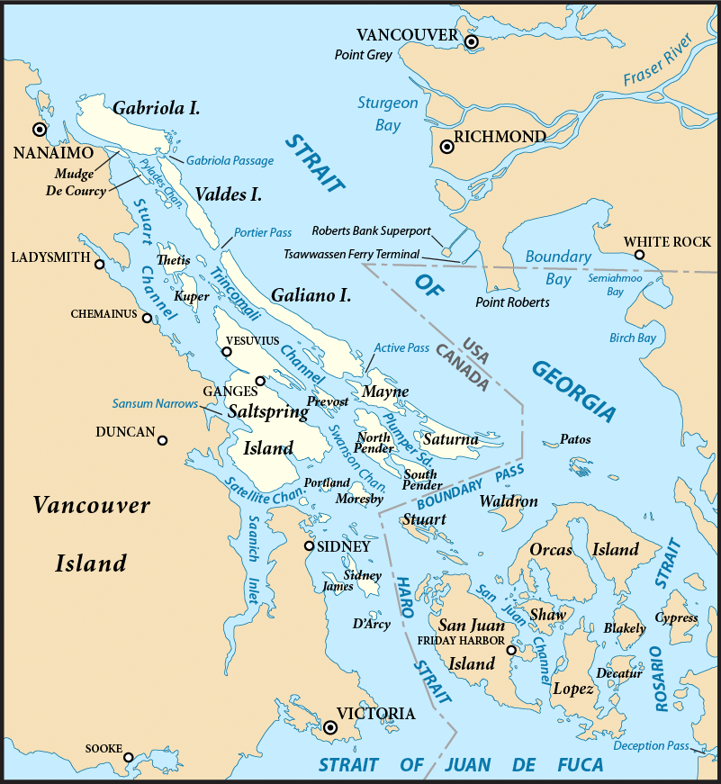
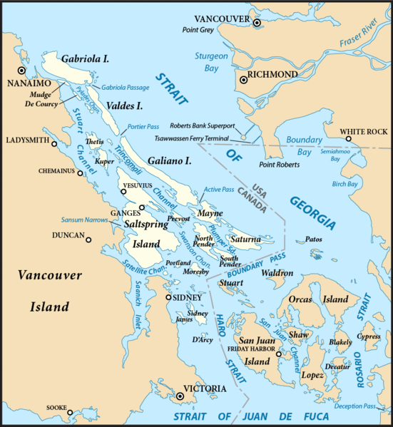
Description: Map of the Gulf Islands (highlighted) and surrounding region, with the US-Canada border. Created with ArcExplorer and Adobe Illustrator. Based on on GeoBase and The National Map data. Map projection: Washington State Plane North (State Plane Coordinate System) Used same base map as with File:San Juan Islands map.png.
Title: Gulf Islands map 2
Credit: Own work
Author: Pfly
Usage Terms: Creative Commons Attribution-Share Alike 3.0
License: CC BY-SA 3.0
License Link: https://creativecommons.org/licenses/by-sa/3.0
Attribution Required?: Yes
Usos del archivo
La siguiente página enlaza a este archivo:

Todo el contenido de los artículos de la Enciclopedia Kiddle (incluidas las imágenes) se puede utilizar libremente para fines personales y educativos bajo la licencia Atribución-CompartirIgual a menos que se indique lo contrario.