
Archivo: Guadeloupe department location map

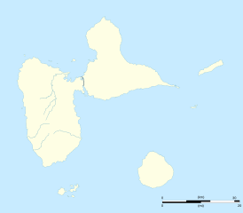
Description: Blank administrative map of the region and department of Guadeloupe, France, for geo-location purpose, with arrondissements boundaries.
Title: Guadeloupe department location map
Credit: Own work Shorelines : NASA Shuttle Radar Topography Mission (SWBD) (public domain) ; Additional reference: Landsat 7 ETM+ imagery (public domain).
Author: Eric Gaba (Sting - fr:Sting)
Permission: Attribution and Share-Alike required Any use of this map can be made as long as you credit me (Eric Gaba – Wikimedia Commons user: Sting) as the author and distribute the copies and derivative works under the same license(s) that the one(s) stated below. A message with a reply address would also be greatly appreciated.
Usage Terms: Creative Commons Attribution-Share Alike 3.0
License: CC BY-SA 3.0
License Link: http://creativecommons.org/licenses/by-sa/3.0
Attribution Required?: Yes
Usos del archivo
La siguiente página enlaza a este archivo:
