
Archivo: Greater Manchester outline map with UK
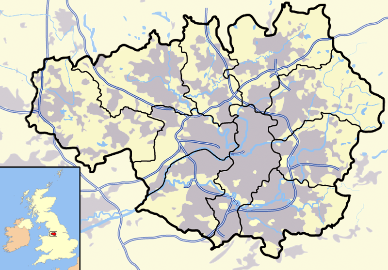
Description: A map of the metropolitan county of Greater Manchester, in North West England. Appended to the bottom left is a mini map of the British Isles with Greater Manchester's location and relative size marked in red. On the main map rural areas are in yellow; urban areas are in grey; district and county boundaries are in black; bodies of water are in light blue; motorways are in dark blue with a white stripe.
Title: Greater Manchester outline map with UK
Credit: Completely self-made, but boundaries and features can be verified via a variety of sources including (but not exclusive to) the Fifth periodical report - Volume 3 Mapping for the London Boroughs and the Metropolitan Counties by the Boundary Commission for England, and Census 2001:Key Statistics for urban areas in the North; Map 3 by the Office for National Statistics.
Author: Jza84
Usage Terms: Public domain
License: Public domain
Attribution Required?: No
Usos del archivo
La siguiente página enlaza a este archivo:
