
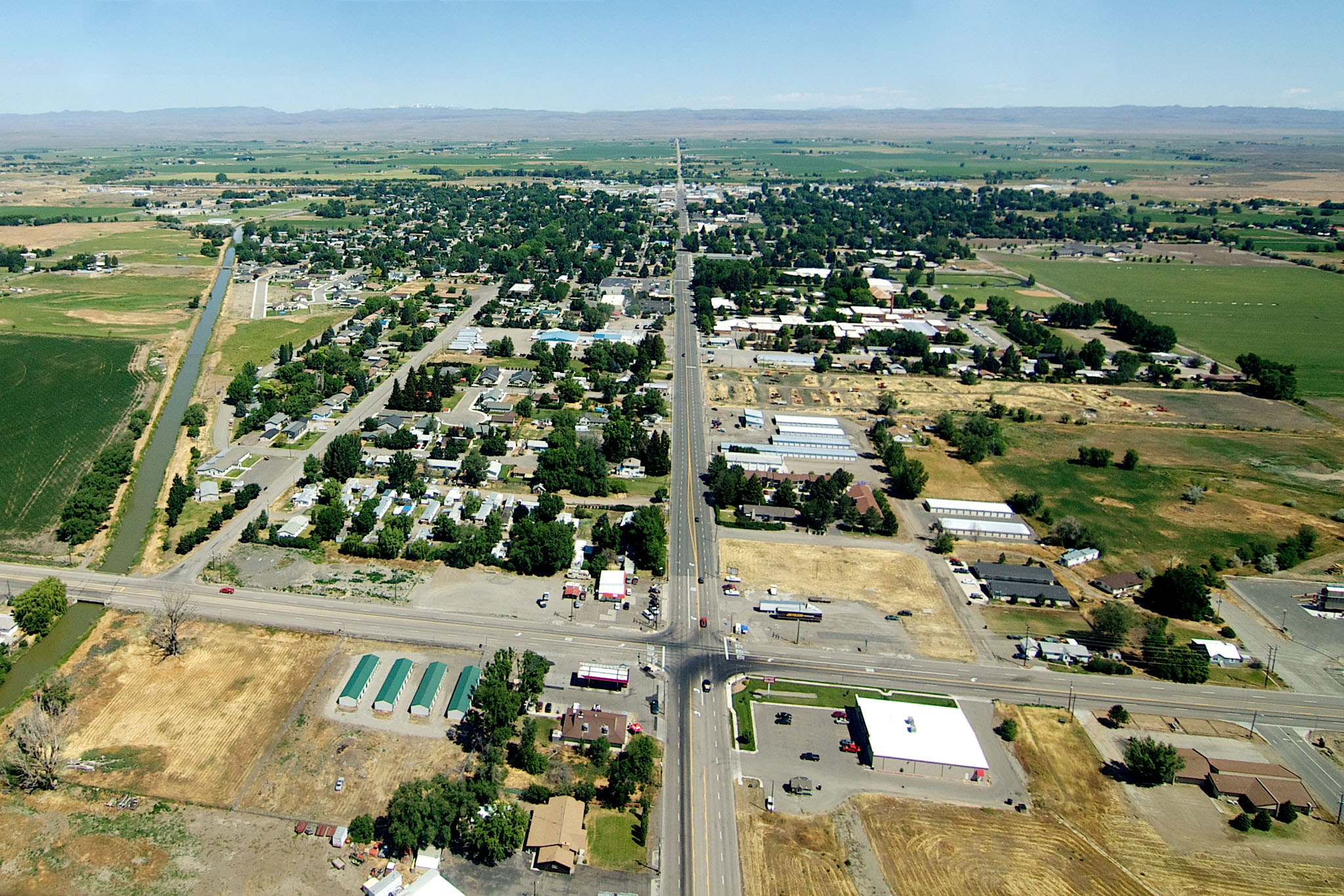
Archivo: Gooding, Idaho 2011.07.09
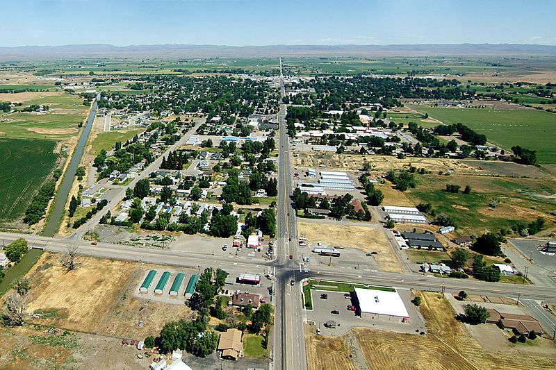
Tamaño de esta previsualización: 800 × 533 píxeles. Otras resoluciones: 320 × 213 píxeles | 2048 × 1365 píxeles.
Archivo original (2048 × 1365 píxeles; tamaño de archivo: 713 KB; tipo MIME: image/jpeg)
Description: An aerial view of Gooding, Idaho, from the South. The road in the middle of the photo is Highway 46. This was shot from a Cessna P206. Processing notes: This photo was slightly rotated, cropped, had slight exposure adjustments, and the plane's wing was removed from the very top of the image. Everything from the mountains (top of the picture) down to the bottom of the photo is untouched.
Title: Gooding, Idaho 2011.07.09
Credit: Own work
Author: gh5046
Usage Terms: Creative Commons Zero, Public Domain Dedication
License: CC0
License Link: http://creativecommons.org/publicdomain/zero/1.0/deed.en
Attribution Required?: No
Usos del archivo
La siguiente página enlaza a este archivo:

Todo el contenido de los artículos de la Enciclopedia Kiddle (incluidas las imágenes) se puede utilizar libremente para fines personales y educativos bajo la licencia Atribución-CompartirIgual a menos que se indique lo contrario.