
Archivo: Foot of the Humber River Toronto1
Tamaño de esta previsualización: 800 × 533 píxeles. Otras resoluciones: 320 × 213 píxeles | 2592 × 1728 píxeles.
Archivo original (2592 × 1728 píxeles; tamaño de archivo: 2,27 MB; tipo MIME: image/jpeg)
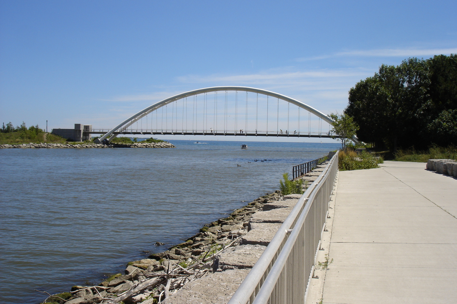
Description: Mouth of the Humber River, Toronto, looking south into Lake Ontario. The walkway to the right of the camera's viewpoint follows the river north to the northern limits of Toronto proper, and connects to the Martin Goodman Trail which is running east-west over the pedestrian bridge seen here.
Title: Foot of the Humber River Toronto1
Credit: Transferred from en.wikipedia to Commons.
Author: Maury Markowitz at English Wikipedia
Usage Terms: Public domain
License: Public domain
Attribution Required?: No
Usos del archivo
La siguiente página enlaza a este archivo:

Todo el contenido de los artículos de la Enciclopedia Kiddle (incluidas las imágenes) se puede utilizar libremente para fines personales y educativos bajo la licencia Atribución-CompartirIgual a menos que se indique lo contrario.