
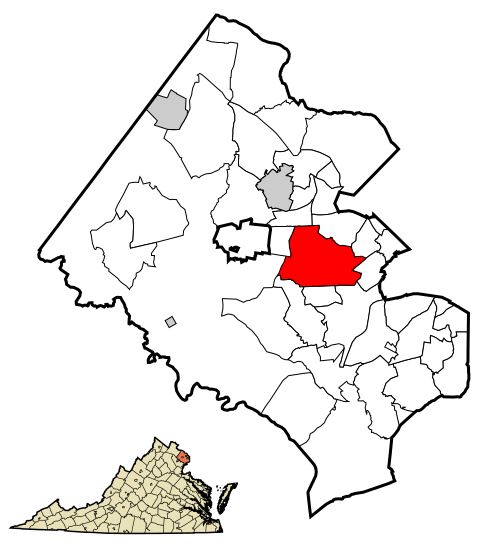
Archivo: Fairfax County Virginia Incorporated and Unincorporated Areas Annadale highlighted

Description: This map shows the incorporated areas and unincorporated areas in Fairfax County, Virginia. Annandale is highlighted in red. Other incorporated cities are shown in gray and CDPs in white. Map data is based on the following files as noted: Fairfax County Virginia US Census Tracts & Block Groups (.pdf) Index of US Census Bureau maps of the Washington D.C. metro area (individual map files are .pdf files.) Map of Virginia highlighting Fairfax County.svg These files were used for determining boundaries and locations for Fairfax County, City of Fairfax, other incorporated areas and CDPs. I created this map in Inkscape.
Title: Fairfax County Virginia Incorporated and Unincorporated Areas Annadale highlighted
Credit: My own work, based on public domain information
Author: The source code of this SVG is invalid due to 2 errors. This W3C-invalid vector image was created with Inkscape by Ixnayonthetimmay.
Usage Terms: Public domain
License: Public domain
Attribution Required?: No
Usos del archivo
La siguiente página enlaza a este archivo:
