
Archivo: Envisat captures the Orange River ESA230174
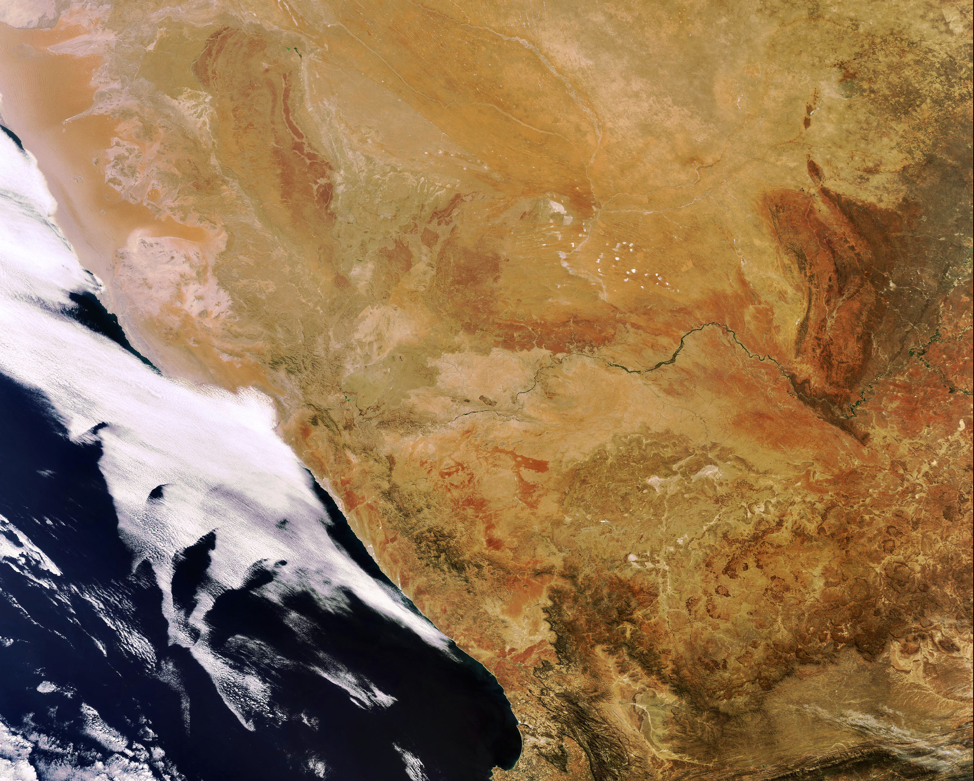
Descripción: Envisat captures the Orange River in Southwest Africa. Rising in the Drakensberg mountains near the South Africa (visible south of the river) and Lesotho border, the Orange River runs westward for 2200 km forming part of the border between South Africa and Namibia (visible north of the river). Image acquired 12 October 2007 by the MERIS (Medium Resolution Imaging Spectrometer) instrument aboard ESA’s Envisat satellite.
Título: Envisat captures the Orange River ESA230174
Créditos: http://www.esa.int/spaceinimages/Images/2007/10/Envisat_captures_the_Orange_River
Autor(a): European Space Agency
Permiso: ESA,CC BY-SA 3.0 IGO
Términos de Uso: Creative Commons Attribution-Share Alike 3.0 igo
Licencia: CC BY-SA 3.0 igo
Enlace de Licencia: https://creativecommons.org/licenses/by-sa/3.0/igo/deed.en
¿Se exige la atribución?: Sí
Usos del archivo
La siguiente página enlaza a este archivo:
