
Archivo: Dnipro estuary
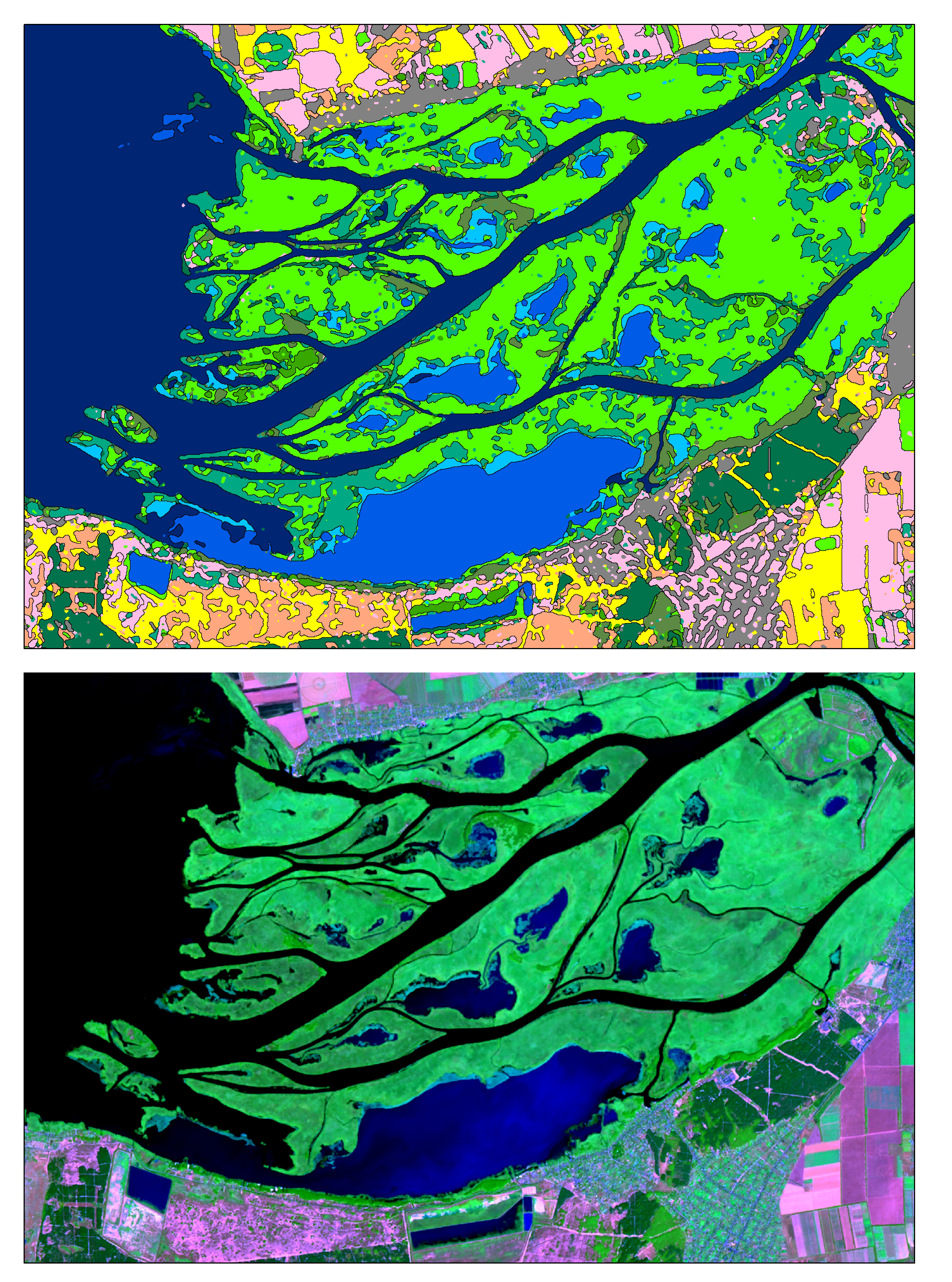
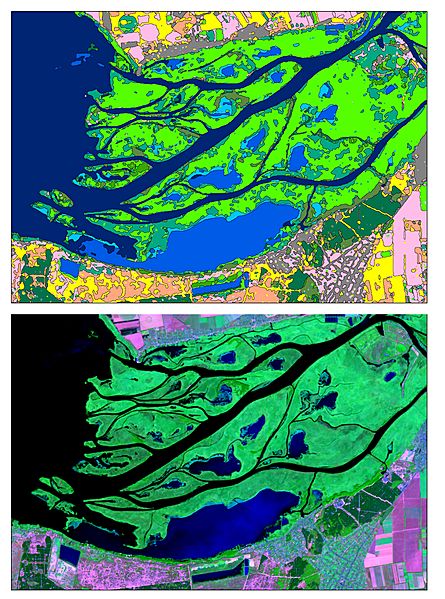
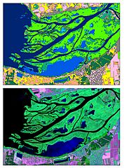
Description: It is satellite image of Dnipro river estuary, captured 8-Aug 2015 by Landsat8 (OLI) under USGS/NASA Landsat Program and thematic map for the same territory The imagery (bottom) is created as False Color band Composite where are • R – Short-Wave Infrared 1 (SWIR-1) Band (2.11 - 2.29 µm) • G – Near Infrared (NIR) Band (0.85-0.88 µm) • B – Red Band (0.64 - 0.67 µm) Thematic map (upper picture) is the result of Artificial neural network (ANN) classifier work. Sattelite image’s pixels were combined into classes with same spectral characteristics. Classes are represented by «water bodies», «crops», «open lands» and «deciduous trees», «wetland» etc.
Title: Dnipro estuary
Credit: Own work
Author: Anastasiya.Tishaeva
Usage Terms: Creative Commons Attribution-Share Alike 4.0
License: CC BY-SA 4.0
License Link: http://creativecommons.org/licenses/by-sa/4.0
Attribution Required?: Yes
Usos del archivo
Las siguientes páginas enlazan a este archivo:
