
Archivo: Colorado State Route 114, Near Cochetopa Dome, Colorado (14223891743)
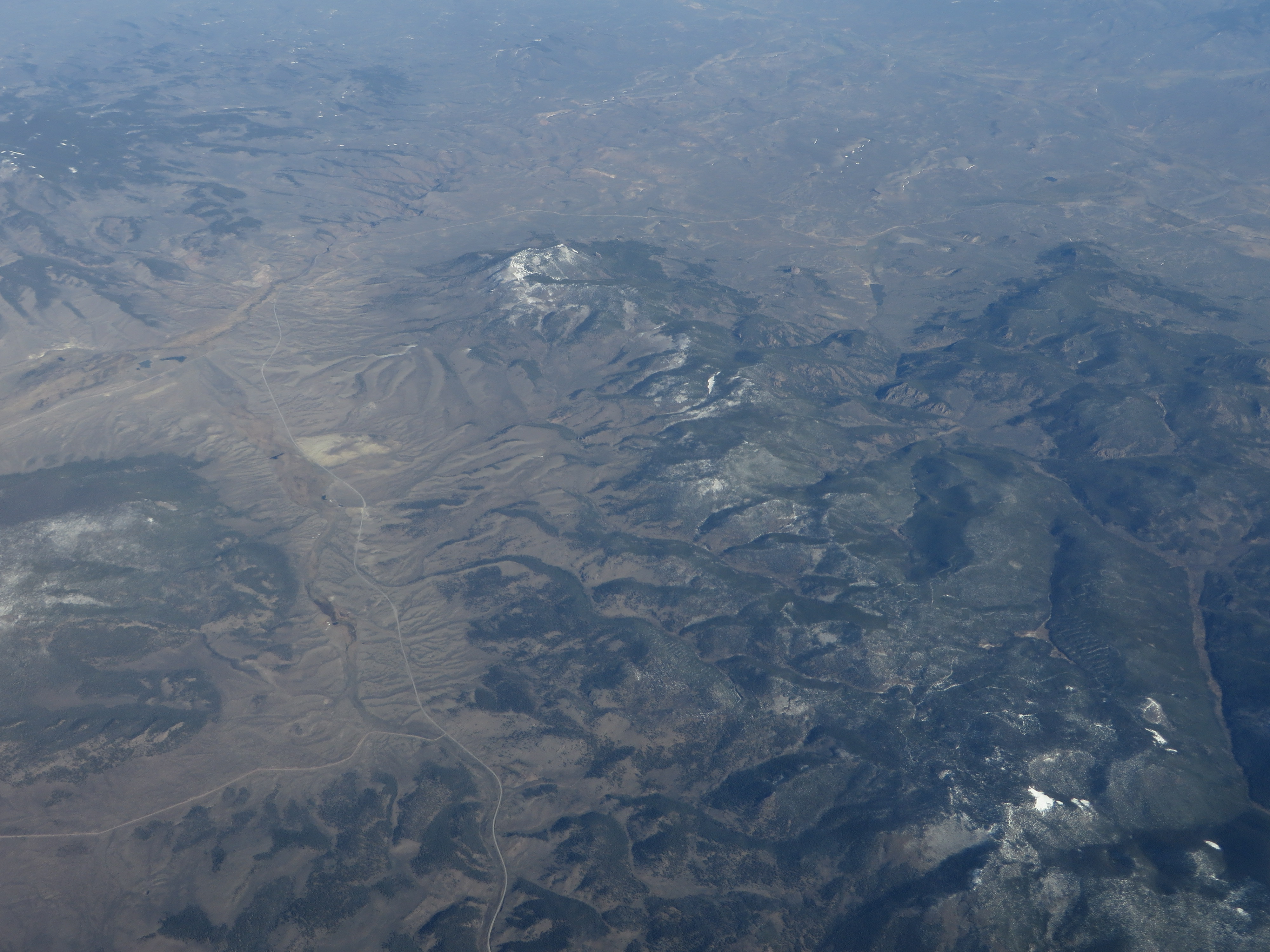
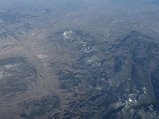
Description: The Cochetopa Hills are a ridge of uplands on the Continental Divide in southern Colorado, United States. The ridge bridges the southern terminus of the Sawatch Range to the northern terminus of the La Garita Mountains. The Cochetopa Hills are characterized by rolling terrain with peaks between 11,000 and 12,000 feet (3,400 and 3,700 m) and noteworthy volcanic geology. The Sawatch Range to the northeast and the La Garita Mountains to the south are characterized by higher peaks. On USGS topographic maps, the area labeled as the Cochetopa Hills is roughly bounded by 13,269-foot (4,044 m) Antora Peak, the town of Sargents, the drainage of Cochetopa Creek, and the town of Saguache. North Pass on State Highway 114 and the backcountry Cochetopa Pass allow passage from the upper Rio Grande drainage on the east to the upper Gunnison River drainage to the west. The practice of naming mid-elevation upland areas in central and southern Colorado using the word hills was also illustrated by the naming of the similar uplands between the upper Arkansas valley and South Park: the Arkansas Hills. en.wikipedia.org/wiki/Cochetopa_Hills en.wikipedia.org/wiki/Wikipedia:Text_of_Creative_Commons_...
Title: Colorado State Route 114, Near Cochetopa Dome, Colorado (14223891743)
Credit: Colorado State Route 114, Near Cochetopa Dome, Colorado
Author: Ken Lund from Reno, Nevada, USA
Usage Terms: Creative Commons Attribution-Share Alike 2.0
License: CC BY-SA 2.0
License Link: https://creativecommons.org/licenses/by-sa/2.0
Attribution Required?: Yes
Usos del archivo
La siguiente página enlaza a este archivo:
.jpg&oldid=2004661)

.jpg)