
Archivo: ChimborazoTungurahua ETM 20010916

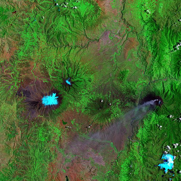
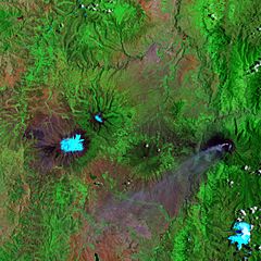
Description: False-color satellite image of Chimborazo (center, left), Carihuairazo (10km northeast of Chimborazo), Tungurahua (center, right with ash plume) and El Altar (bottom, right), Ecuador. Pale blue indicates snow/ice cover, bright green indicates lush vegetation, and red indicates sparser vegetation. Tungurahua’s volcanic ash plume appears in lavender. Image width is 78km, image direction is top to North
Title: ChimborazoTungurahua ETM 20010916
Credit: http://earthobservatory.nasa.gov/Newsroom/NewImages/images.php3?img_id=17121
Author: Jesse Allen, NASA Earth Observatory, based on data provided by the Landsat 7 science team and the University of Maryland’s Global Land Cover Facility.
Permission: US government, public domain
Usage Terms: Public domain
License: Public domain
Attribution Required?: No
Usos del archivo
La siguiente página enlaza a este archivo:
