
Archivo: CheyenneCourseWatershed1
Tamaño de esta previsualización: 800 × 557 píxeles. Otras resoluciones: 320 × 223 píxeles | 814 × 567 píxeles.
Archivo original (814 × 567 píxeles; tamaño de archivo: 43 KB; tipo MIME: image/png)
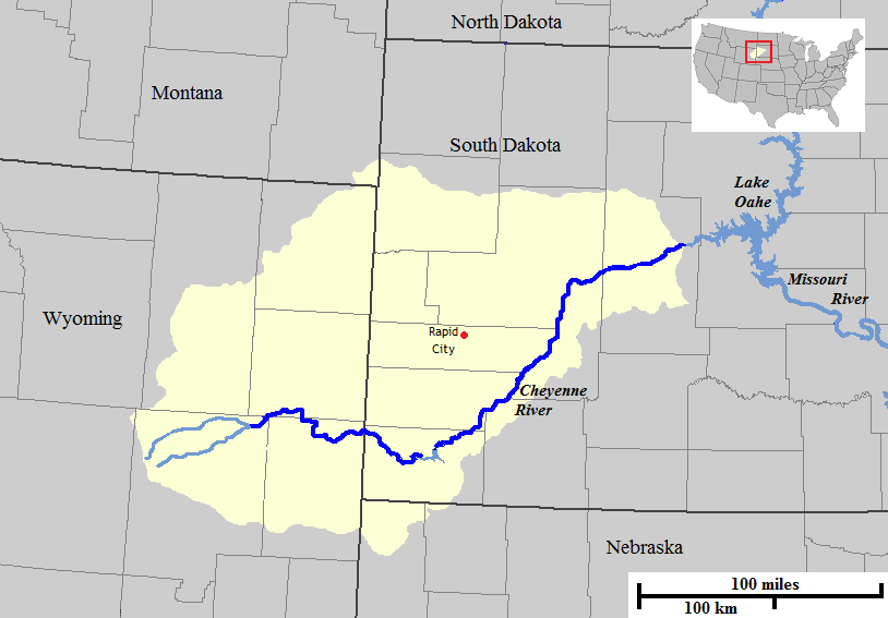
Description: Map of the course and watershed of the Cheyenne River in the United States.
Title: CheyenneCourseWatershed1
Credit: Base map used was taken from the National Atlas, remaining work was done by the uploader. Drainage basin maps used as a reference were from this site from the United States Geological Survey.
Author: Jon Platek
Usage Terms: Public domain
License: Public domain
Attribution Required?: No
Usos del archivo
Las siguientes páginas enlazan a este archivo:

Todo el contenido de los artículos de la Enciclopedia Kiddle (incluidas las imágenes) se puede utilizar libremente para fines personales y educativos bajo la licencia Atribución-CompartirIgual a menos que se indique lo contrario.