Archivo: Cheshire outline map with UK
Cheshire_outline_map_with_UK.png (722 × 552 píxeles; tamaño de archivo: 412 KB; tipo MIME: image/png)
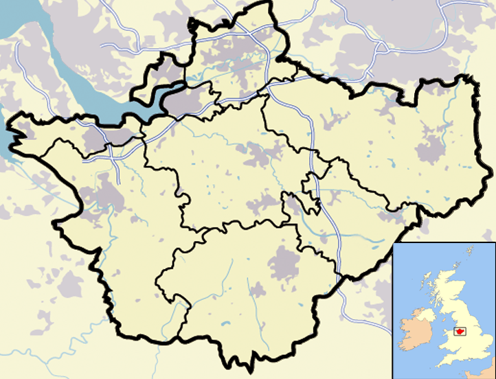
Description: Map of en:Cheshire and surrounding area, with micromap of the British Isles for context. Urban areas are shown in grey, water bodies in light-blue, motorways in blue with white stripe and county and borough boundaries in black.
Title: Cheshire outline map with UK
Credit: Transferred from en.wikipedia to Commons.
Author: Jhamez84 at English Wikipedia
Usage Terms: Public domain
License: Public domain
Attribution Required?: No
Usos del archivo
No hay páginas que enlacen a esta imagen.

Todo el contenido de los artículos de la Enciclopedia Kiddle (incluidas las imágenes) se puede utilizar libremente para fines personales y educativos bajo la licencia Atribución-CompartirIgual a menos que se indique lo contrario.

