
Archivo: Carte du Maine

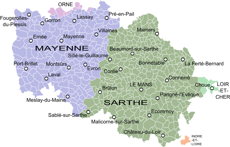
Descripción: Map of the old province of Maine, France, showing the communes according to the current administrative division.
Título: Carte du Maine
Créditos: Carte des Provinces du Maine et du Perche, by Guillaume Delisle (1719). Obras derivadas de ésta: Blank Map of Sarthe Department, France, with Communes.svg by Poulpy Obras derivadas de ésta: Blank Map of Mayenne Department, France, with Communes.svg by Poulpy Obras derivadas de ésta: Blank Map of Orne Department, France, with Communes.svg by Poulpy Obras derivadas de ésta: Blank Map of Loir-et-Cher Department, France, with Communes.svg by Poulpy
Autor(a): Oie blanche
Términos de Uso: Creative Commons Attribution-Share Alike 3.0
Licencia: CC BY-SA 3.0
Enlace de Licencia: https://creativecommons.org/licenses/by-sa/3.0
¿Se exige la atribución?: Sí
Usos del archivo
La siguiente página enlaza a este archivo:
