
Archivo: Cape Floral Region Protected Areas map
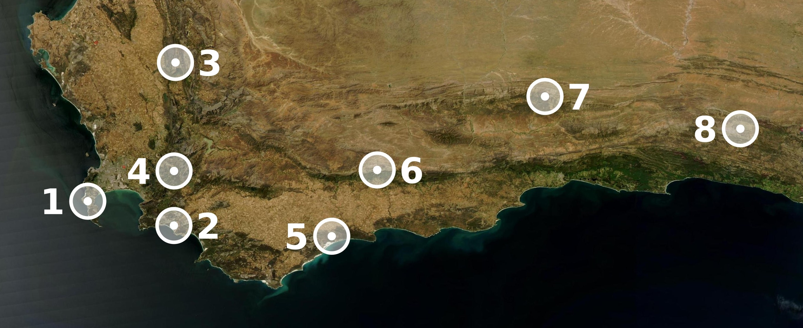
Descripción: Map showing the location of the eight sites included in UNESCO's World Heritage ensemble Cape Floral Region Protected Areas, in the Cape Floristic Region of the Eastern and Western Cape, in South Africa. (1): Table Mountain National Park (formerly Cape Peninsula National Park) (2): Groot Winterhoek Wilderness Area (3): Cederberg Wilderness Area (4): Boland Mountain Complex (5): De Hoop Nature Reserve (6): Boosmansbos Nature Reserve (7) Swartberg Complex (8): Baviaanskloof Mega Reserve
Título: Cape Floral Region Protected Areas map
Créditos: Map made with The GIMP and Inkscape from a public domain image out of NASA's World Wind.
Autor(a): Júlio Reis
Términos de Uso: Creative Commons Attribution-Share Alike 3.0
Licencia: CC BY-SA 3.0
Enlace de Licencia: https://creativecommons.org/licenses/by-sa/3.0
¿Se exige la atribución?: Sí
Usos del archivo
La siguiente página enlaza a este archivo:
