
Archivo: Caert van't Landt van d'Eendracht (detail showing Willems River)
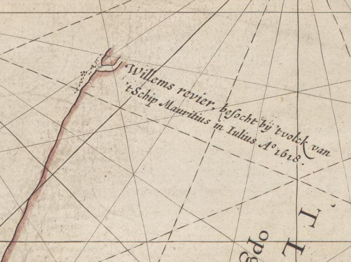
Description: This is an image showing detail of the National Library of Australia's copy of Hessel Gerritsz' 1627 map of the north west coast of Australia entitled "Caert van't Landt van d'Eendracht". This detail shows features labelled "Willems revier, besocht by 't volck van 't Schip Mauritius in Iulius A° 1618" ("Willem's River, visited by the crew of the ship Mauritius in July 1618").
Title: Caert van't Landt van d'Eendracht (detail showing Willems River)
Credit: Cropped from the full scan, available at Image:Caert van't Landt van d'Eendracht (NLA balanced).jpg
Author: Hessel Gerritsz, also written "Hessel Gerritszoon".
Usage Terms: Public domain
License: Public domain
Attribution Required?: No
Usos del archivo
La siguiente página enlaza a este archivo:
.jpg&oldid=1873931)

.jpg)