
Archivo: COL orthographic
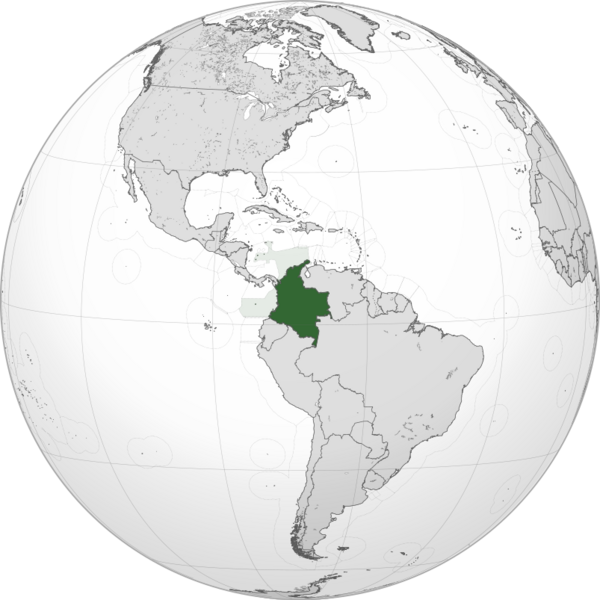


Descripción: A map of the hemisphere centred on 5°, -73°, using an orthographic projection. Colombia is highlighted in green. Solid areas represent sovereign territories. In the exclusive economic zone (EEZ) the state does not have full sovereignty, but rather "sovereign rights". Dashed areas represent disputed territories or unrecognized territories. Colombia. Exclusive economic zone of Colombia. Sources:
Boundaries, islands, coasts and lakes: Natural Earth Data (1:10m resolution), licensed public domain. Exclusive Economic Zones: Marine Regions, licensed CC BY 4.0. Software used:
Data edited with QGIS (LTR version 3.40.8) Vector with Inkscape (version 1.2.2)
Autor: David Ayala
Términos de Uso: Atribución-CompartirIgual 3.0 No portada
Licencia: CC-BY-SA-3.0
Enlace de Licencia: http://creativecommons.org/licenses/by-sa/3.0/deed.es
¿Se exige la atribución?: Sí
Usos del archivo
La siguiente página enlaza a este archivo: