
Archivo: Bonne Carte du Mexique ou de la Nlle. Espagne contenant aussi le Nouveau Mexique, la Californie, avec une partie des pays adjacents 1771 UTA
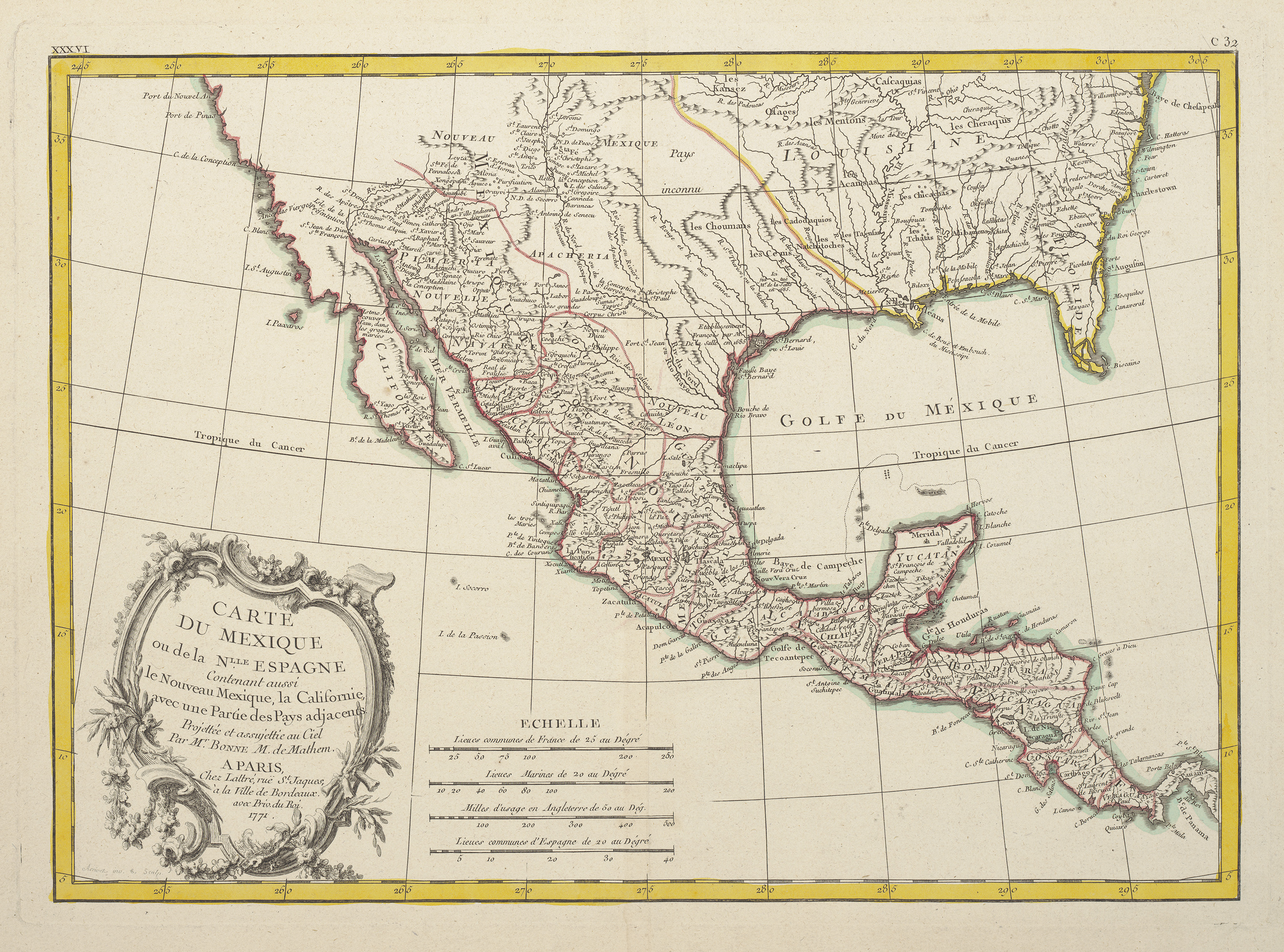
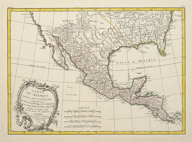
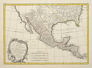
Descripción: French hydrographic engineer, mathematician, and cartographer Rigobert Bonne's 1771 map of Mexico or New Spain published by Jean Lattré or his son featured an elegant rococo-style cartouche engraved and designed by a little-known artisan named "Arrivet." Bonne's map shows but does not name all of a total of seventeen rivers in Texas. Missions along the left bank of the Rio Grande or "Riviere du Nord" above its junction with the Pecos (here labeled the "Riv. Salado ou Riviere des Apaches") include St. Christophe (San Cristobal, founded in 1715), St. Paul, la Conception, and St. George.
Título: Carte du Mexique ou de la Nlle. Espagne contenant aussi le Nouveau Mexique, la Californie, avec une partie des pays adjacents
Créditos: UTA Libraries Cartographic Connections: map / texto
Autor(a): Rigobert Bonne
Términos de Uso: Dominio Público
Licencia: Dominio Público
¿Se exige la atribución?: No
Usos del archivo
La siguiente página enlaza a este archivo:
