
Archivo: Basseterre Map 1
No disponible en mayor resolución.
Basseterre_Map_1.png (325 × 349 píxeles; tamaño de archivo: 7 KB; tipo MIME: image/png)
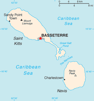
Description: The Grey Area Around the Red Star Indicates the Location and City Limits of the City of Basseterre on the Island of St. Kitts.
Title: Basseterre Map 1
Credit: Based on Image:Saint_Kitts_and_Nevis-CIA_WFB_Map.png Transferred from en.wikipedia
Author: Star colour changed by Jensonmorton Original uploader was Jensonmorton at en.wikipedia
Permission: Released into the public domain (by the author).
Usage Terms: Public domain
License: Public domain
Attribution Required?: No
Usos del archivo
La siguiente página enlaza a este archivo:

Todo el contenido de los artículos de la Enciclopedia Kiddle (incluidas las imágenes) se puede utilizar libremente para fines personales y educativos bajo la licencia Atribución-CompartirIgual a menos que se indique lo contrario.