
Archivo: B brownii dist map
No disponible en mayor resolución.
B_brownii_dist_map.png (646 × 576 píxeles; tamaño de archivo: 61 KB; tipo MIME: image/png)
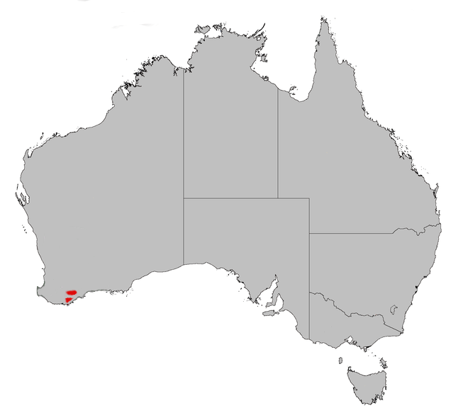
Description: Distribution map of the Banksia brownii, source for distribution the WA Governemnt Department of Conservation and Land Mmanagement Update to include new population identified in the Hopetown region April 2006. revert to earlier version as WA Herbarium unable to confirm ID of plant as B.brownii the source has since emoved reference to the area.
Title: B brownii dist map
Credit: Own work
Author: Gnangarra
Usage Terms: Public domain
License: Public domain
Attribution Required?: No
Usos del archivo
La siguiente página enlaza a este archivo:

Todo el contenido de los artículos de la Enciclopedia Kiddle (incluidas las imágenes) se puede utilizar libremente para fines personales y educativos bajo la licencia Atribución-CompartirIgual a menos que se indique lo contrario.