
Archivo: 2020 CIMSS 28L Twenty-eig visible infrared map
No disponible en mayor resolución.
2020_CIMSS_28L_Twenty-eig_visible_infrared_map.GIF (800 × 600 píxeles; tamaño de archivo: 3,77 MB; tipo MIME: image/gif, bucleado, 12 frames, 2,7s)
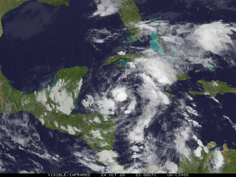
Descripción: Cooperative Institute for Meteorological Satellite Studies's visible infrared map of atlantic tropical depression Twenty-Eight from October 24, 2330UTC to the 25th, 0430UTC.
Título: 2020 CIMSS 28L Twenty-eig visible infrared map
Créditos: http://tropic.ssec.wisc.edu/real-time/storm.frame.php?&basin=atlantic&sname=28L&invest=NO&zoom=4&img=7&vars=111110000000000000000&loop=1 http://tropic.ssec.wisc.edu/real-time/atlantic/storm/movies/MOV8-4.28L.GIF
Autor(a): Cooperative Institute for Meteorological Satellite Studies
Licencia: Attribution
Usos del archivo
La siguiente página enlaza a este archivo:

Todo el contenido de los artículos de la Enciclopedia Kiddle (incluidas las imágenes) se puede utilizar libremente para fines personales y educativos bajo la licencia Atribución-CompartirIgual a menos que se indique lo contrario.