
Archivo: Казахское ханство
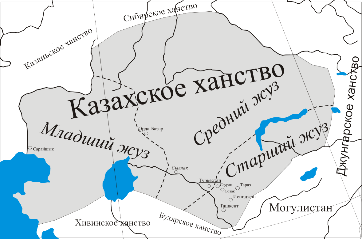
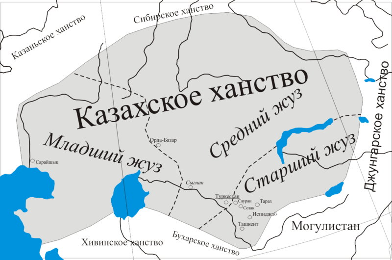
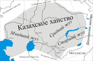
Descripción: Map of the Kazakh Khanate.
Título: Казахское ханство
Créditos: Trabajo propio; (ruso) (2004) Kazakhstan. National encyclopedia, Main editorial office "Қазақ енциклопедиясы", pp. 183 ISBN: 978-9965-9746-4-9. «In 1513, the southernmost of the cities of the Prisyrdarya - Sairam - came under the rule of Kasym Khan. By this time the borders of the Kazakh state in the south included most of the right bank of the Syr Darya, in the south-east covered the foothills and valleys of Semirechye, in the north and east coincided with the modern borders of Kazakhstan, in the west the Kazakh khan's possessions included the nomads of the Mangyts in the interfluve of the Zhem and the Yaik.»
Autor(a): Adaykz
Términos de Uso: Creative Commons Attribution-Share Alike 3.0
Licencia: CC BY-SA 3.0
Enlace de Licencia: https://creativecommons.org/licenses/by-sa/3.0
¿Se exige la atribución?: Sí
Usos del archivo
La siguiente página enlaza a este archivo:
